Concord Pavilion – Concord, CA.
29th ANNIVERSARY OF Earth Day
Contra Costa Earth Day Festival
Sunday April 25, 1999
By: Michael J.
Foley, PLS
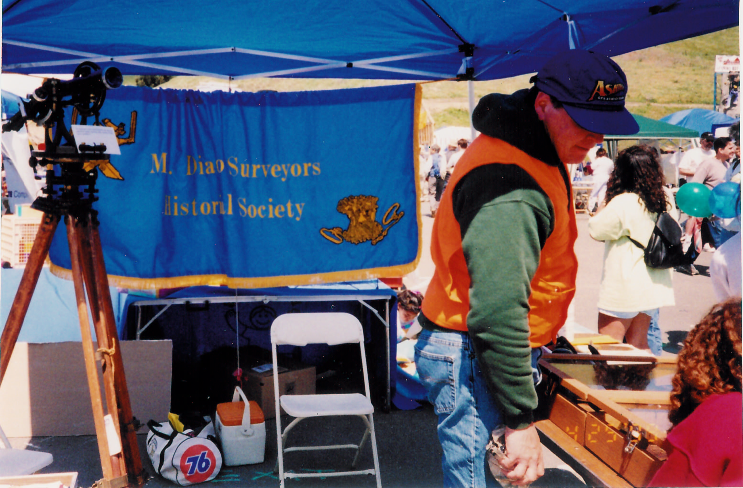
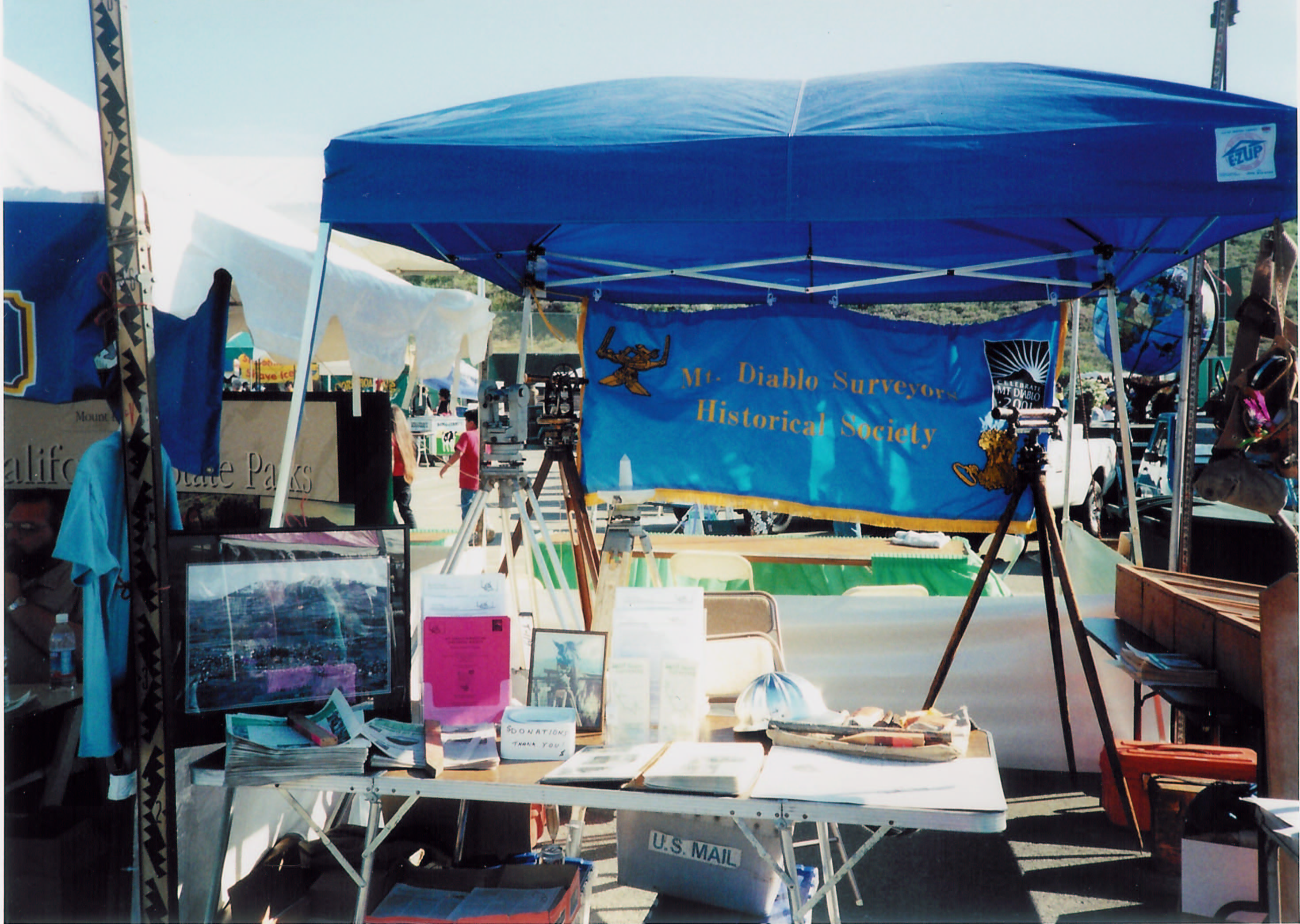
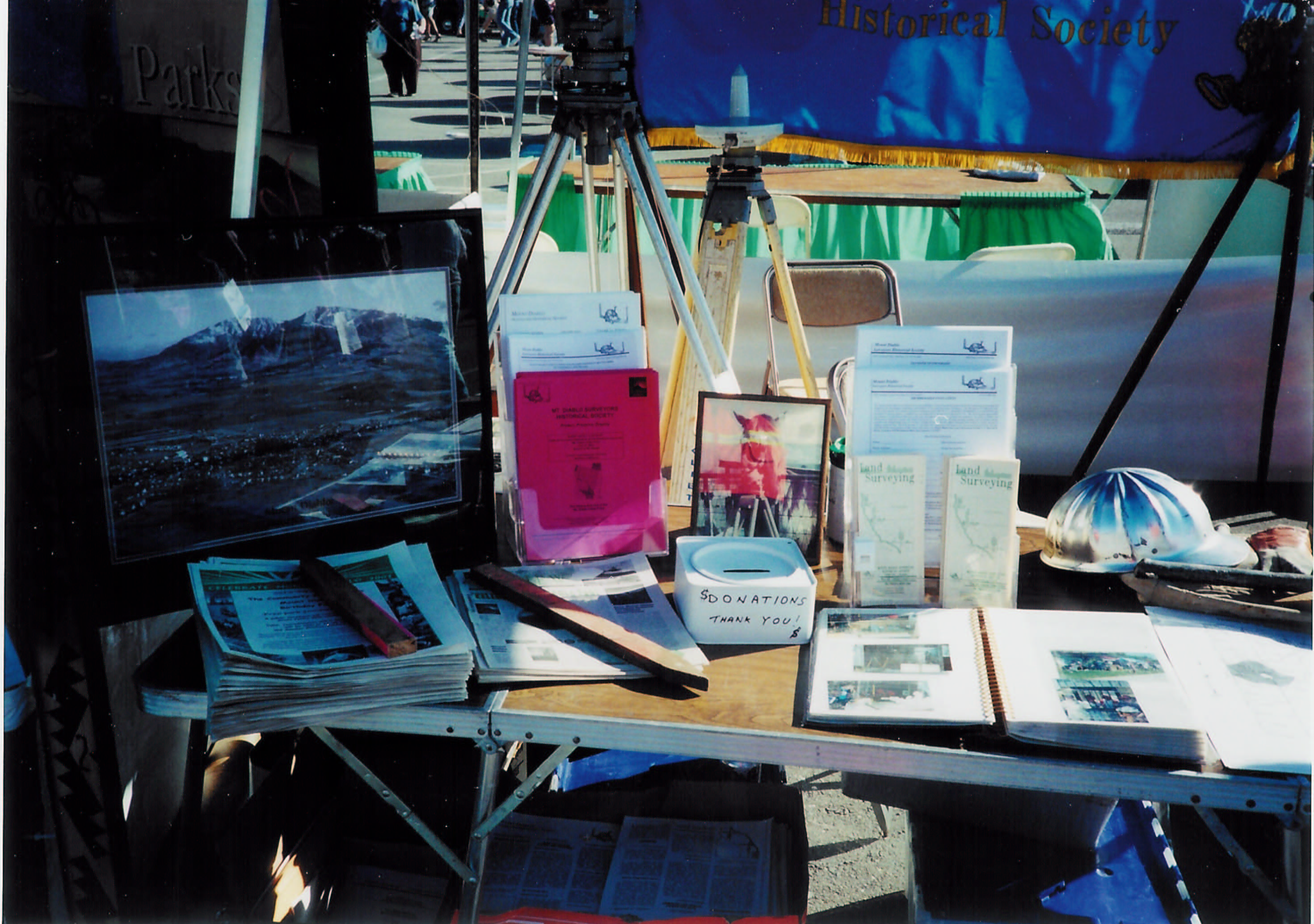
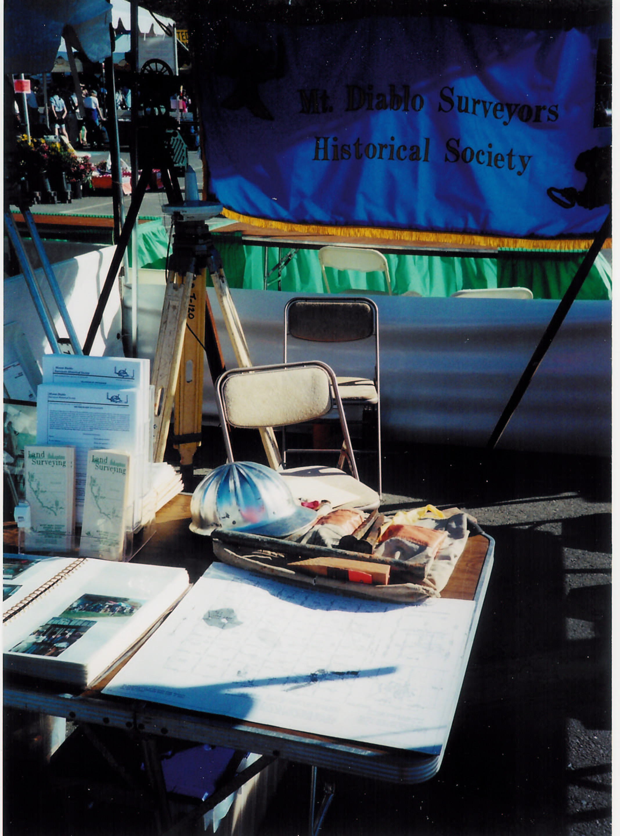
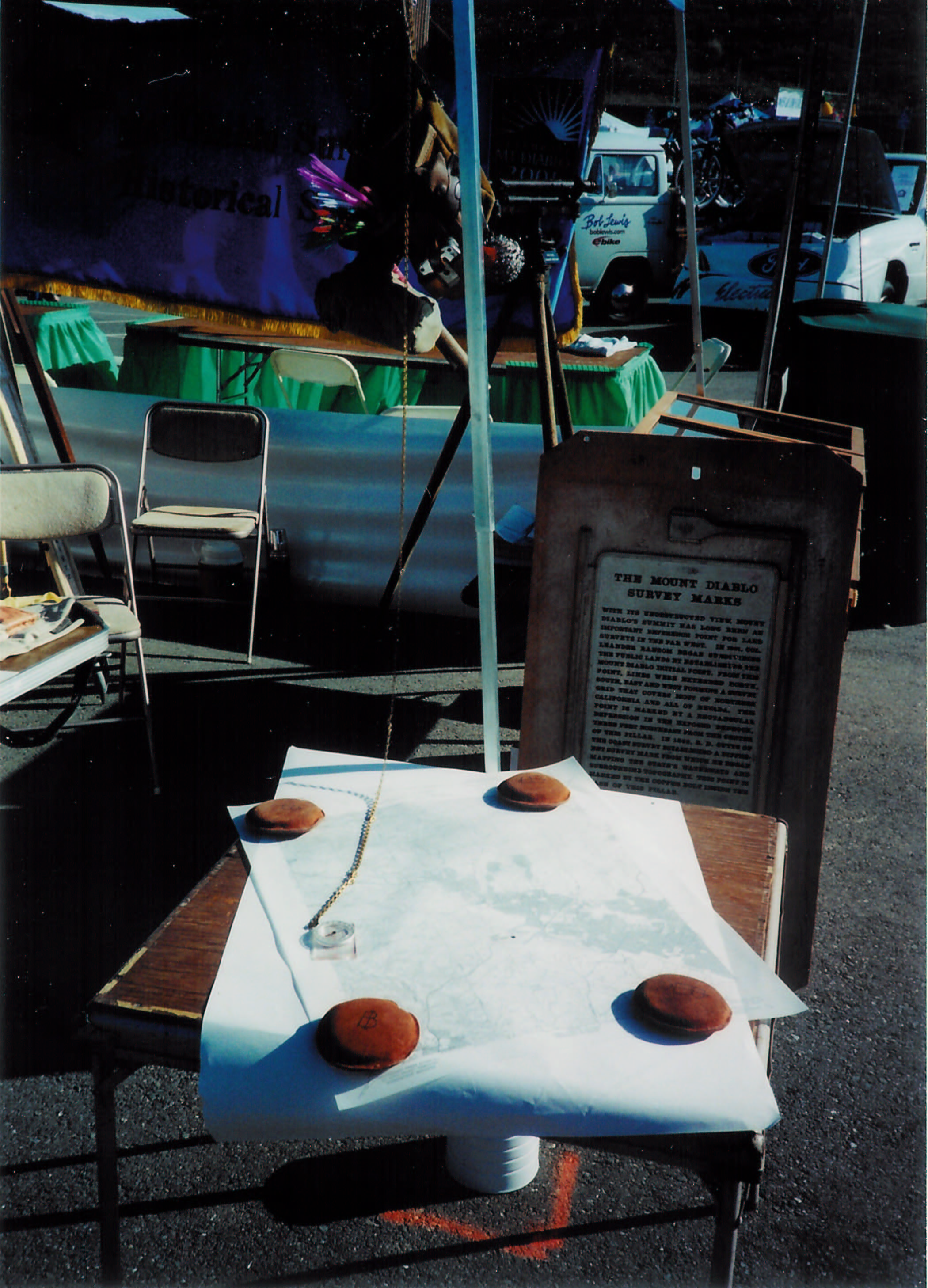
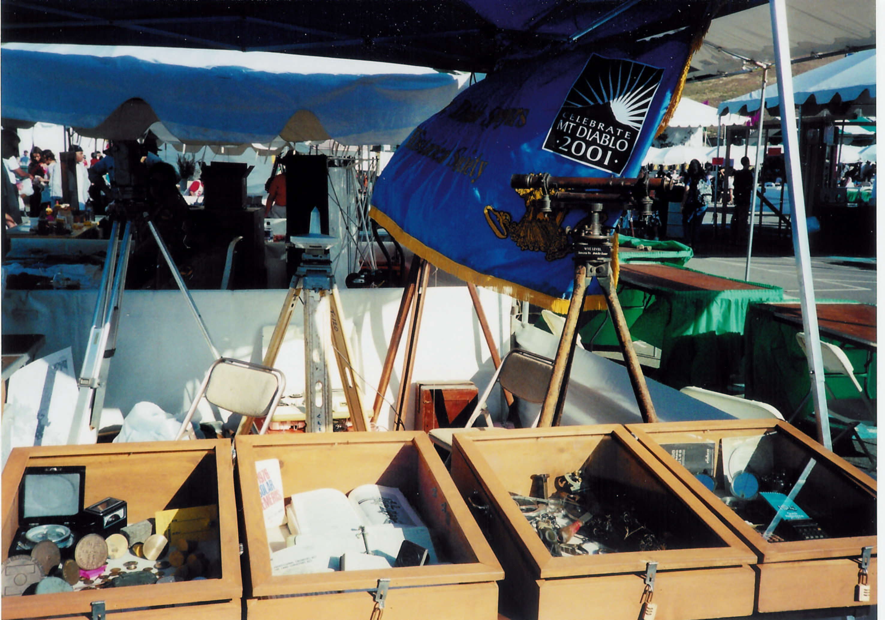
The Mount Diablo Surveyors Historical
Society was invited to join in the 29th year celebration of Earth Day. The
Contra Costa Earth Day Festival was held at the Concord Pavilion in Concord,
California. Our good friend Keith Paterson, Festival Co-Director was our
sponsor. Keith, who is also the Assistant Director of the Mt. Diablo
Interpretive Association (MDIA) arranged to have our booth assigned back to
back with the MDIA booth. The Lindsey Museum, East Bay Regional Parks District,
East Bay Mud, as well as numerous other public agencies and arts & crafts
made up the exhibitor area. Special public message, entertainment presenters as
well as general music was provided on four stages for the enjoyment of the
estimated 35,000 plus public attendees. This event, which bills itself as the
"Largest Inspirational, Educational, and Environmental event in Northern
California", was an important exhibition for the MDSHS. Duncan Marshall (pictured below)
and I manned the booth from 10:00 am until the 6:00 pm closing time. MDSHS was
asked to provide two questions and answers for a scavenger hunt, for the kids.
Duncan and I considered it an honor to have our questions used on two separate
scavenger sheets. Considering all of the booths present, and only 12 questions
per sheet. The questions? 1) When was Mt. Diablo first used for surveying? 2)
What year was the first land surveyor licensed in California? Thanks to Keith
Nofield, who provided the questions and answers. This event provided MDSHS good
exposure to the general public and we look forward to attending again.
ANSWERS:
1) 1850: Lt. R. S. Williamson of
the Topographic Engineers made an expedition to the top of “Monte Diablo” to
conduct leveling surveys and established the elevation at 3,857 feet above
M.H.W.*
2) 1891: Charles T Healey, LS#1
*Lt. Edward Belcher, a surveyor on the
English ship Blossom, actually first surveyed Mount Diablo in 1826. With
permission of the acting presidio commandant, Ignacio Martinez, Belcher and two
other men spent 54 days mapping the S.F. Bay Area. Their map included the
mountain, then called Sierra Bolbones, at a height of 3770 feet. Historians
think that the men climbed the mountain and measured it with a mercurial
barometer. The current official elevation is 3,849 feet above sea level