The Mount Diablo Surveyors Historical Society
Surveying Equipment (2002, 2003/2004)
Sponsored by the
June-August 2001; September-November 2002; October 2003-February 2004.
|
This display was set up to educate the public about the 150 year anniversary of the establishment of the Mount Diablo Initial Point atop the summit of Mt. Diablo by U.S. General Land Office (GLO) Deputy Surveyor Leander Ransom on July 17, 1851. This event was coordinated with Craig A. Lyon of the Mount Diablo Interpretive Association. |
![]()
To learn more about the Mount Diablo Interpretive Association visit their web page here:
http://www.mdia.org/
Please scroll down to view photographs of this event/exhibit...
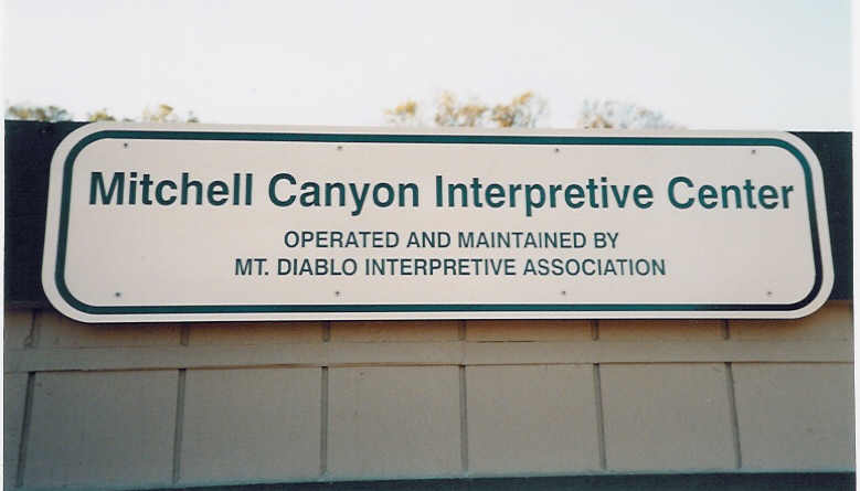
Mitchell Canyon Visitor Center
Interpretive Center Operators
2001 Exhibit Statement of Purpose
Ransom's Survey / Historic Photographs
Surveying Equipment
Mt. Diablo In 3-D
Completed Exhibit
2002 Exhibit
Surveying Equipment
Docent Instructions
2003/2004 Exhibit
Surveying Equipment
Event Credits
Bottom of the page.
Mitchell Canyon Visitor Center
The Mitchell Canyon Visitor/Interpretive Center is located in Mount Diablo State Park at the south end of Mitchell Canyon Road in Clayton, CA. The Mitchell Canyon Visitor Center is staffed by State Park Volunteers and is supported by the Mount Diablo Interpretive Association whose main goal is to provide visitors with information so they can better enjoy the Park and it's natural wonders.
The Center has displays about various aspects of Mt. Diablo State Park, such as geology, wildlife, trails, and plant life. Interpretive materials about the Park, such as geology, wildlife, and plants, are for sale. There are also postcards, note cards, trail maps, and water for sale. A docent is on duty when the Center is open to answer questions and to handle sales of materials. In the future the Center will also serve as a focal point in Mitchell Canyon for scheduled group hikes and lectures. All visitors are welcome to visit this part of the State Park to stop in and see the new Mitchell Canyon Visitor Center.
| The Center is currently open on Saturdays and Sundays, and some holidays 8am to 4pm during spring and summer months and 9am to 3pm during fall and winter months. |
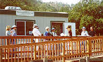
Photo #2
2001 Exhibit Statement of Purpose
June-August 12, 2001
Photo #2a
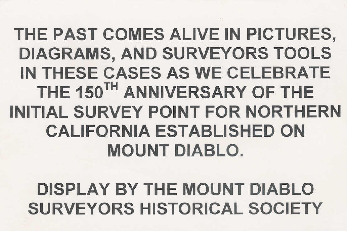
Photo #3
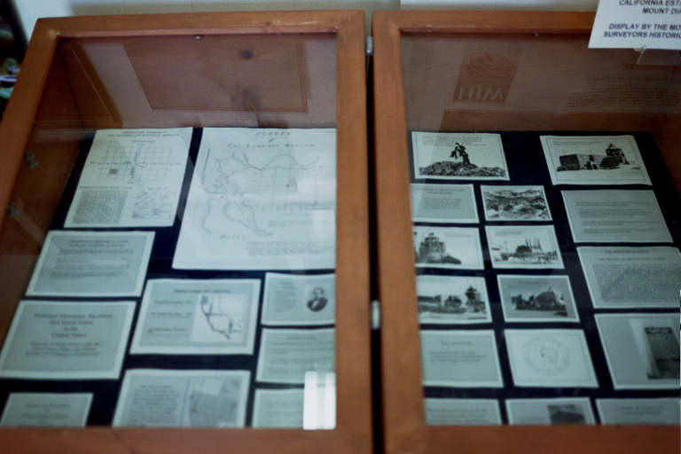
Leander Ransom's Survey of the Initial Point Historic Summit Photographs (1900-1939's)
Photo #4
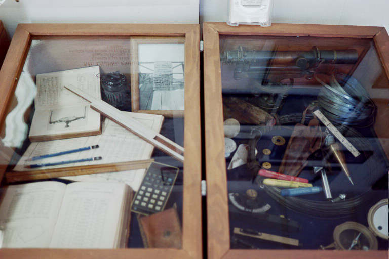
| Calculators, slide rule, Curta, survey tables, engineers scale. | Y-level, steel tape, hand level, pocket (compass) transit, surveyor's monuments, plumb bob. |
Mt. Diablo in 3-D
|
This non-MDSHS display map was provided by HJW geospacial of Oakland CA and shows Mt. Diablo in 3-D (by use of the provided 3-D glasses hanging on the left) and shows another way that Surveyors help to explore and understand the environment around us Photo #5 |
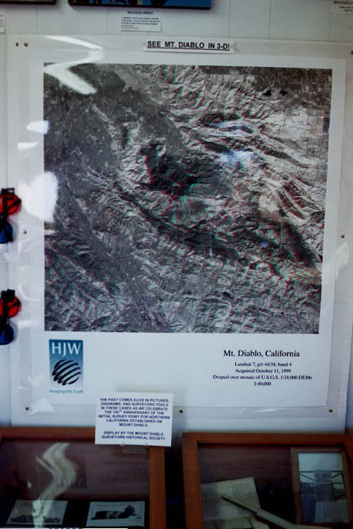
Photo #6
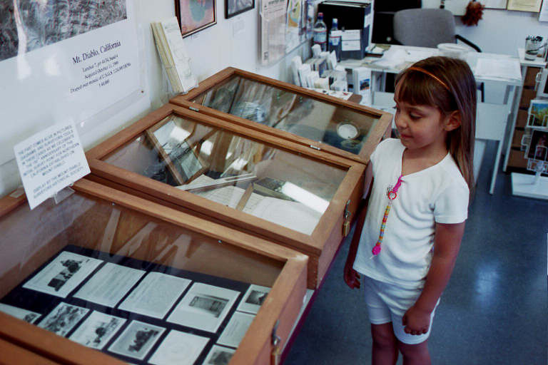
Amanda Johnson, granddaughter of MDSHS member Michael Foley admires the completed exhibit.
2002 Exhibit
September 1, through November 30, 2002
Photo #7
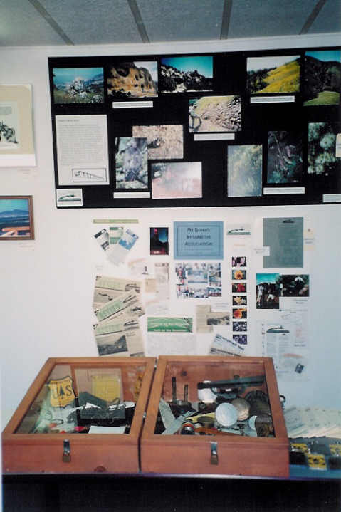
Photo #7a
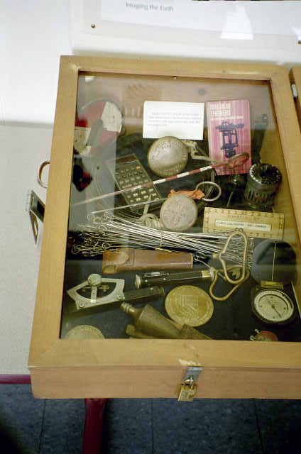
| Chaining pins, plumb bob, steel tape, Gunter's Chain (66-ft /100 links 7.92 inch each), monument signs, hand level. | Dumpy level, slide rule, engineer's scale, drafting pencils, pocket compass, surveyor's monuments. |
Photo #8
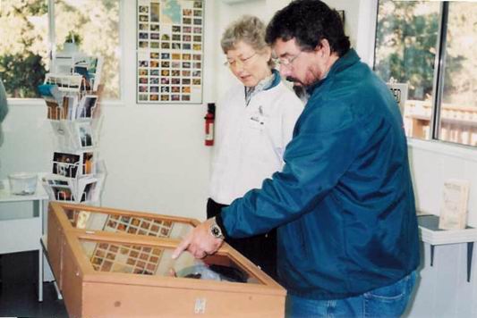
MDSHS member Michael Foley reviews the exhibit with the MDIA docent.
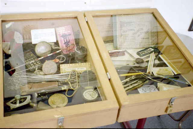
Photo #10 Photo #11
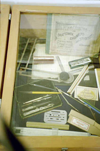
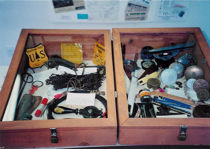
| Chaining pins, plumb bob, steel tape, engineer's chain (100-ft /100 links 12 inch each), survey monuments, calculator, Curta, hand level, abney level, pocket compass, rod target. | Drafting equipment; scales, compass set, erasing shield, drafting pencils, drafting arm and lettering guidebook. |
This display was mounted by Michael Foley (2001, 2002, 2003/2004) and Keith Nofield (2003) of the
Mount Diablo Surveyors Historical Society and Amanda Johnson (2001) granddaughter of Michael Foley,
with the assistance of Craig Lyon of the Mount Diablo Interpretive Association.
Photographs by Michael Foley, ©2001, 2002 & 2004 MDSHS. All rights reserved.
MDSHS
is a California non-profit public benefit corporation organized under
IRS 501(c) (3) (Federal #8916806802, CA 1835904).
Website designed by and maintained by Michael J. Foley
Page last updated March 9, 2013
Copyright ©2013 MDSHS
http://www.mdshs.org